Catchments: National River Flow Archive (2014). Hydrometric areas for Great Britain and Northern Ireland. NERC-Environmental Information Data Centre doi:10.5285/1957166d-7523-44f4-b279-aa5314163237
—
—
Show last
Speed
View
Radar opacity70%
Gauge period
Data gaps
Quality control
Areas
Rivers
Show values
Colour scale
About data gaps
Each gauge is checked for how much data it actually reported over the selected period. This filter hides stations that are missing more than the chosen share of readings, so the map isn't cluttered with unreliable or offline gauges.
Gaps are usually caused by temporary faults at the Environment Agency, Natural Resources Wales, or SEPA APIs, or by a gauge going offline, not by an absence of rainfall.
Choose Show all to see every gauge regardless of missing data, or tighten the threshold to only show the most reliable stations.
The address of the Model Viewer and Model Multi now follows what is on screen: the layer, Areas, isobars, temperature values, split screen and the rest. Bookmark it, or save it as a shortcut, and it opens the same view at the latest run. For a quick link to one parameter, add ?param=rain (or temp, cloud, wind) to the address.
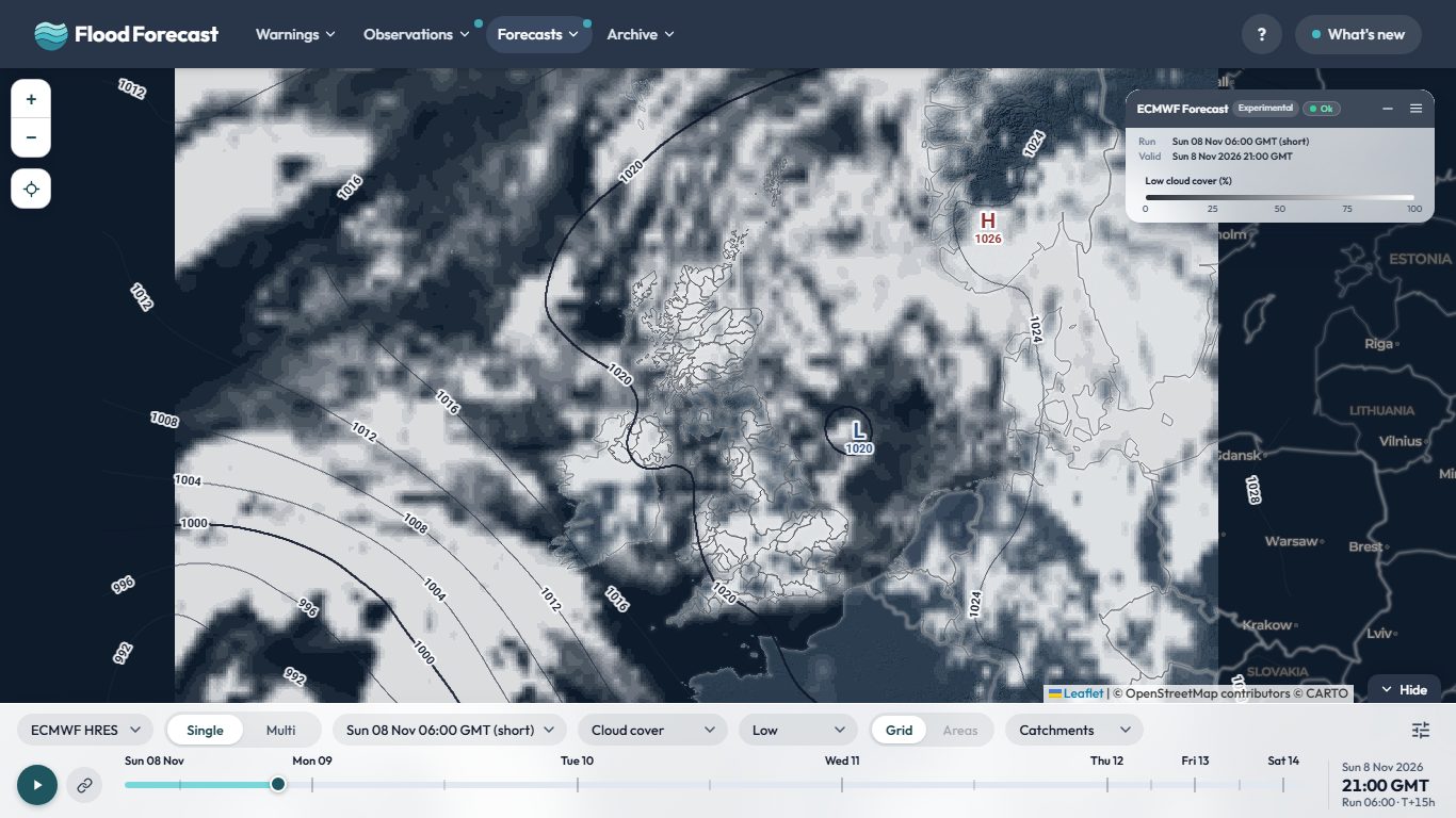
The Cloud layer now shows white cloud over a darker map, so it stands out clearly, and you can switch between Total, High, Mid and Low cloud to see which layer of the atmosphere the cloud is in. It works on every model on the Model Viewer and Model Multi.
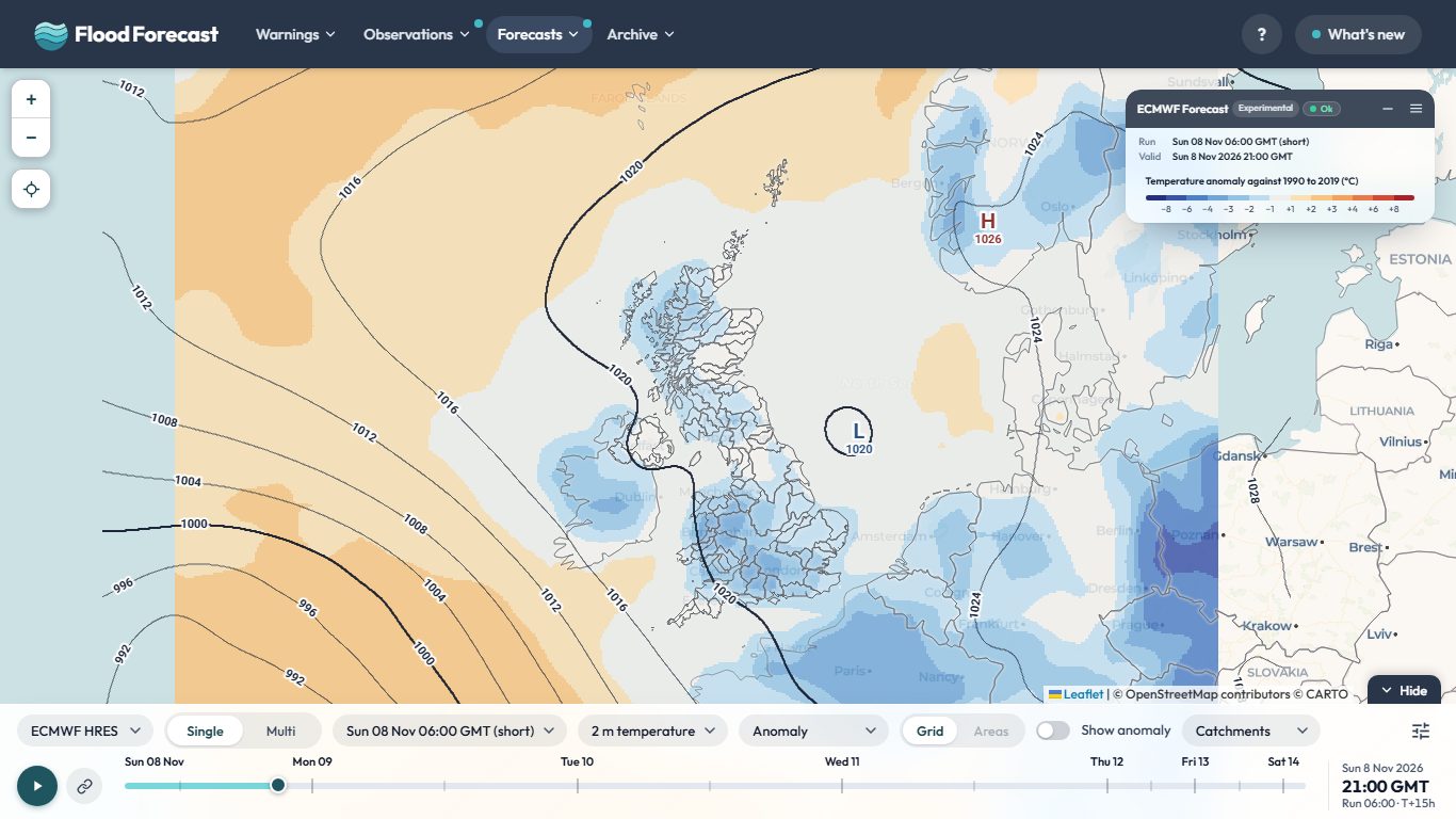
Temperature on the Model Viewer is now drawn in 3 degree colour bands, and a new Anomaly layer shows how far each model's 2 m temperature is above or below the normal for that date and hour, against 1990 to 2019 (set to the Met Office's 1991 to 2020 averages over the UK), in blue to red bands. Turn on Show temperature values in the settings menu to print the numbers on the map. Tap Space to flip between temperature and anomaly, or hold it to peek. The Split screen switch on the bar shows temperature on the left and its anomaly on the right.
Ask about this page or the wider UK picture. Answers come from the site's data; check anything that matters.
Questions and answers may be read by people to improve the replies. How Bert works.
Town forecasts: ECMWF IFS and Met Office UKV via
Open-Meteo open data;
places from GeoNames. Both
CC BY 4.0.
Please do not include personal or sensitive information.
info
About Flood Forecast
This application brings together real-time data from multiple sources to help you stay
informed about weather and flood conditions across the UK.
report_problem
Important
This application is unofficial and provided for informational, research, and analysis purposes only. Uptime, data completeness, and real-time accuracy are not guaranteed.
To avoid over-reliance during active weather or flood events, do not make safety-critical decisions using this tool. For official warnings and instructions, consult the primary public services directly:
Google Analytics is used to see which pages are useful and where the site is slow. It's off until you say otherwise, and your choice is remembered. Nothing else on this site sets non-essential cookies, and advertising or personalisation cookies are never allowed.
Analytics is currently on.
You can change this at any time from the Cookie preferences link in the page footer.