What it shows: storm surge from the Met Office's shelf model, and wave forecasts from six models for the seas around the UK and Ireland. Significant wave height is the average height of the highest third of the waves; the largest single waves can be nearly twice that.
Colours: wave height uses the same scale as the wave buoys page, so a colour means the same height on both. The sea state names in the readout are the Douglas scale (smooth, slight, moderate, rough, very rough, high, very high).
Swell and wind sea: wind sea is raised by the local wind; swell has travelled from further away and carries more energy for its height, which matters for overtopping. ECMWF's open data has no split, so those layers are not offered for it.
Model edges: DWD EWAM stops at 10.5°W and the Met Office UK model covers 46 to 62.7°N, 16°W to 13°E. Outside a model's own area nothing is drawn, rather than calm sea.
Storm surge (Met Office surge): the Met Office's 1.5 km shelf model (AMM15) forecasts the whole sea level, tide and surge together. The surge shown here is that sea level minus a tide fitted to the same model's own previous year, cell by cell, so it is the model's non-tidal part, in metres. It is not the official surge forecast behind the Environment Agency's and NTSLF's coastal warnings, which is not published openly. In shallow, strongly tidal places (the Severn, the Wash, the Thames and the Dover Strait) a surge also shifts the timing of the tide, so the surge there rises and falls a little with each tide. What matters most there is the surge at high water.
Water level: the model's sea level, tide and surge together, against the model's own mean sea level. It is not a height above Ordnance Datum or Chart Datum, so it will not match a tide table's figures.
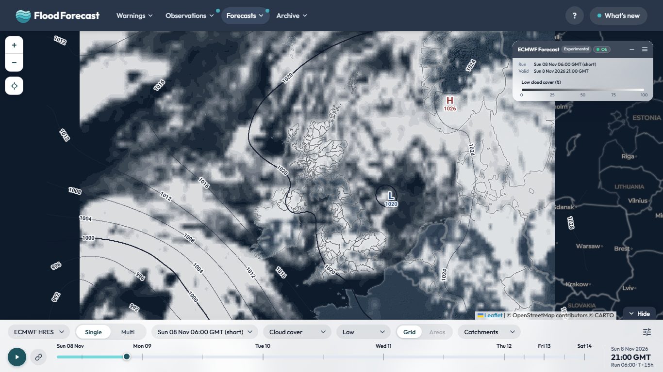
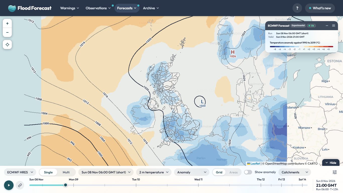
Isobars: mean sea level pressure, 4 hPa apart, from the same centre's own atmosphere model at the same time: ECMWF HRES with ECMWF WAM, NOAA GFS with GFS-Wave, the Met Office global model with the Met Office wave and surge models. Météo-France and DWD's atmosphere models are not on this site, so their wave models show none.
Deterministic, not a probability: each model gives one possible outcome. Where they disagree, the forecast is less certain.
Sources: ECMWF WAM (CC BY 4.0); British Crown copyright, the Met Office, licensed under CC BY-SA 4.0, via the Registry of Open Data on AWS; Météo-France MFWAM, generated using E.U. Copernicus Marine Service Information; DWD EWAM and GWAM (Deutscher Wetterdienst, CC BY 4.0); NOAA GFS-Wave (public domain). All but the Met Office's are read from Open-Meteo's open data on AWS (CC BY 4.0).
The address of the Model Viewer and Model Multi now follows what is on screen: the layer, Areas, isobars, temperature values, split screen and the rest. Bookmark it, or save it as a shortcut, and it opens the same view at the latest run. For a quick link to one parameter, add ?param=rain (or temp, cloud, wind) to the address.
The Cloud layer now shows white cloud over a darker map, so it stands out clearly, and you can switch between Total, High, Mid and Low cloud to see which layer of the atmosphere the cloud is in. It works on every model on the Model Viewer and Model Multi.
Temperature on the Model Viewer is now drawn in 3 degree colour bands, and a new Anomaly layer shows how far each model's 2 m temperature is above or below the normal for that date and hour, against 1990 to 2019 (set to the Met Office's 1991 to 2020 averages over the UK), in blue to red bands. Turn on Show temperature values in the settings menu to print the numbers on the map. Tap Space to flip between temperature and anomaly, or hold it to peek. The Split screen switch on the bar shows temperature on the left and its anomaly on the right.
This application brings together real-time data from multiple sources to help you stay
informed about weather and flood conditions across the UK.
report_problem
Important
This application is unofficial and provided for informational, research, and analysis purposes only. Uptime, data completeness, and real-time accuracy are not guaranteed.
To avoid over-reliance during active weather or flood events, do not make safety-critical decisions using this tool. For official warnings and instructions, consult the primary public services directly:
Google Analytics is used to see which pages are useful and where the site is slow. It's off until you say otherwise, and your choice is remembered. Nothing else on this site sets non-essential cookies, and advertising or personalisation cookies are never allowed.
Analytics is currently on.
You can change this at any time from the Cookie preferences link in the page footer.