Named storms: the Met Office UK Storm Centre and storm naming programme. Contains public sector information licensed under the Open Government Licence v3.0.
Met Office warnings: National Severe Weather Warning Service. Contains public sector information licensed under the Open Government Licence v3.0. Source: Met Office National Severe Weather Warning Service.
Flood Guidance Statements: issued by the Flood Forecasting Centre (a partnership of the Met Office and Environment Agency). Contains public sector information licensed under the Open Government Licence v3.0.
ERA5: Generated using Copernicus Climate Change Service information [2026]. Neither the European Commission nor ECMWF is responsible for any use that may be made of the Copernicus information or data it contains. ERA5 hourly data, Hersbach et al. (2020), via Google's ARCO-ERA5.
Radar, where a storm has it: Met Office (2003): 1 km Resolution UK Composite Rainfall Data from the Met Office Nimrod System. NCAS British Atmospheric Data Centre. Open Government Licence v3.
Weather stations, where a storm has them: Contains Met Office MIDAS Open data, licensed under the Open Government Licence v3.0. Source: CEDA, MIDAS Open: UK Land Surface Stations Data.
Photographs: Wikimedia Commons, each credited under it with its author and licence (Creative Commons or public domain).
From space, where a storm has no photograph: NASA VIIRS (Suomi NPP) or MODIS (Terra) true colour imagery via NASA Worldview and GIBS, public domain.
Boundaries: ONS, Open Government Licence v3.0. Catchments: National River Flow Archive (UKCEH), Open Government Licence v3.0. Other coastlines Made with Natural Earth.
Basemap (dark mode): © OpenStreetMap contributors © CARTO.
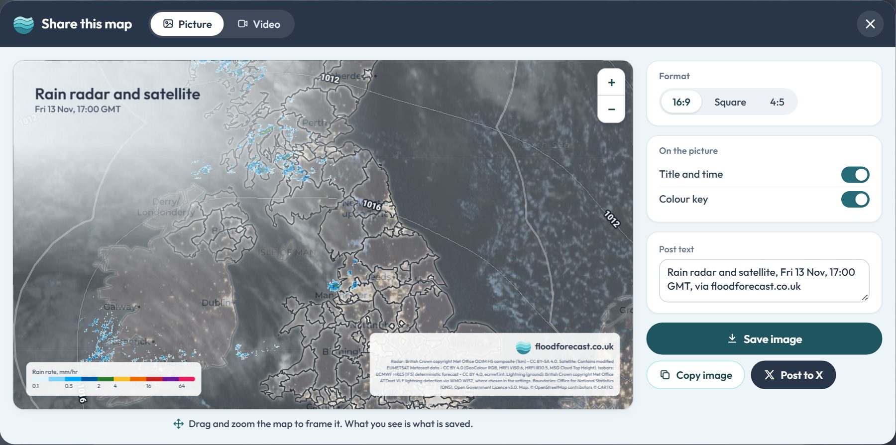 Try it on the radar map